
After three days on the Missouri, people begin to think they have Montana worked out. This is usually about the time we leave.
There is none of the careful packing that accompanies an airport day. The rods don’t even go back into their tubes. They’re left fully rigged and laid in the vehicle among the bags, ready for whatever we decide to fish next. We say goodbye to Craig, turn south and begin the journey towards Dillon.
The first part of the drive gives little indication of how much the country is about to change. Interstate 15 follows the Missouri through narrow country south of Craig, with steep canyon slopes pressing towards the road and the river appearing and disappearing beside us. Old railway lines, bridges and smaller creeks cut through the folds in the landscape. For a while, the country still feels connected to the river we have just left.
Gradually it opens.
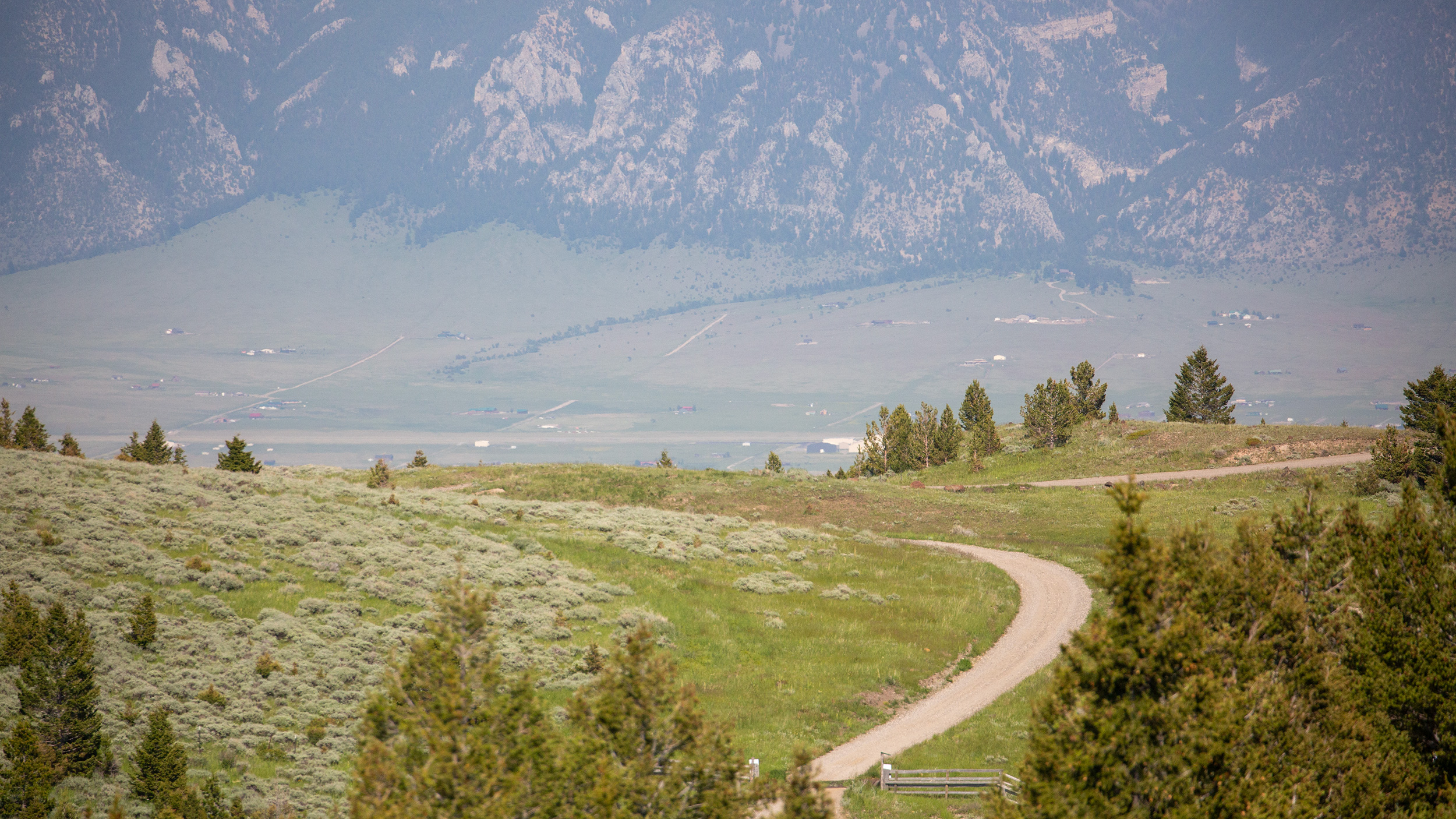
Beyond Helena the distances become larger. Mountain ranges that once seemed close enough to touch retreat towards the horizon. Dry grass fills enormous valleys between them. Around Butte, the scars of mining appear on the hillsides, reminders that people were drawn to this country for very different reasons long before fly fishing became part of its modern identity. Continue south and the landscape becomes drier again. Rock and pale grass replace much of the green. Irrigated fields appear almost unnaturally bright against the surrounding country.
By the time we reach Dillon, Craig feels considerably farther away than the distance on the map suggests.
Dillon is still a proper Montana town. Pickups line the streets. American flags hang from houses and businesses. Bars and restaurants sit among practical shops serving people who actually live and work in the surrounding valleys. Sparky’s has enough 1950s and 60s memorabilia to occupy you while waiting for dinner, including booths fashioned from old vehicles. There is a small brewery, several fly shops and a taco truck that has become something of an institution for us. After enough years returning to a place, convenience and familiarity eventually become their own form of luxury, and sometimes a good taco eaten without ceremony is exactly what everyone wants.
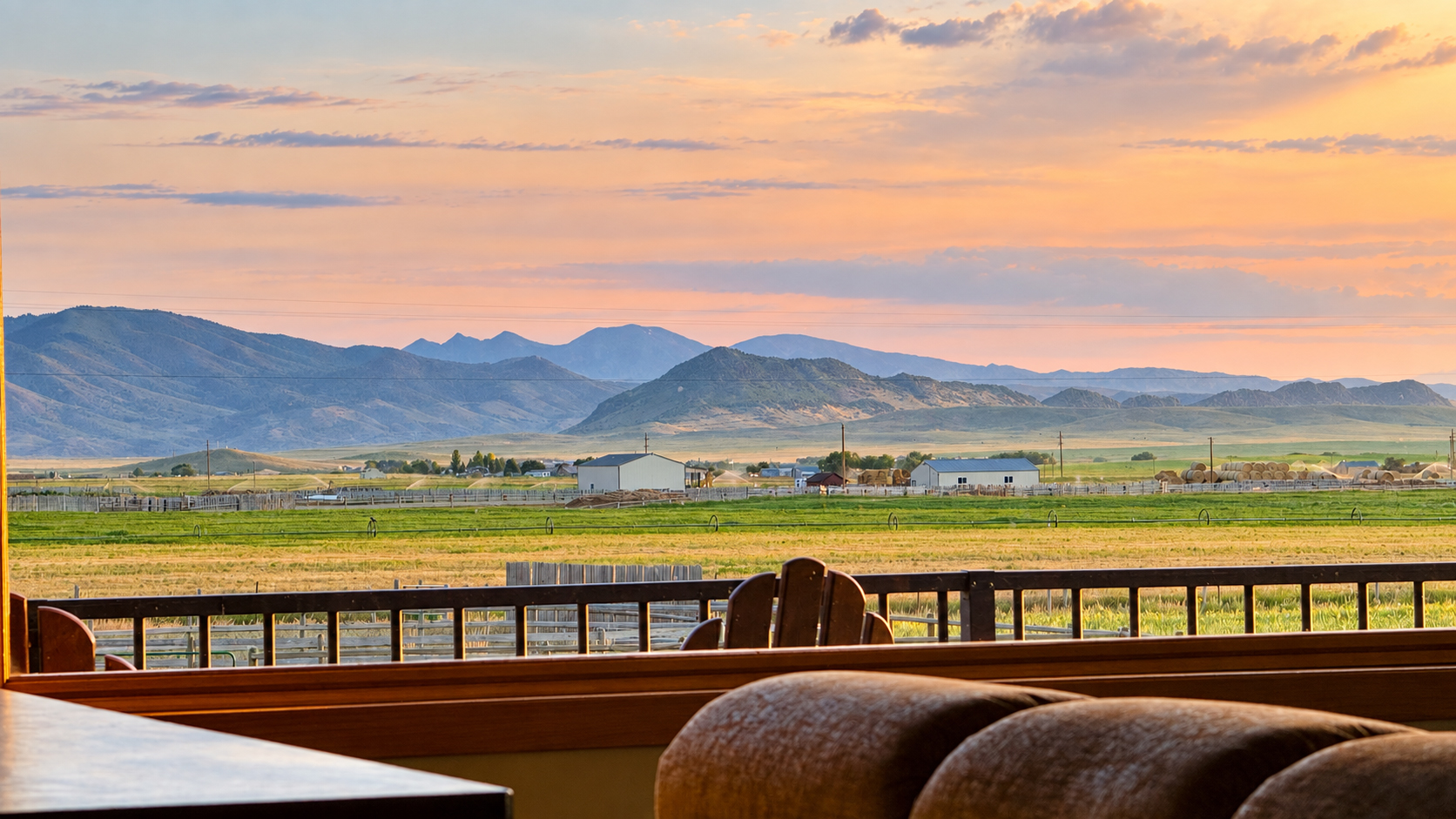
We generally stay outside town on acreage rather than in a motel. The house we have used on recent trips has a large L-shaped balcony wrapping around the second storey. Below one side is a working yard where horses are handled and exercised. Around the other, the view opens towards distant mountains that spend the afternoon looking bleached by the sun before deepening in colour as evening arrives. Dillon can be oppressively hot in July, but once the sun drops, sitting on that deck with something cold to drink is a very pleasant way to finish a fishing day.
Mornings begin with coffee and the short drive into town. The guiding operation we use has become familiar enough that arriving now feels more like returning than checking in. Hunting dogs are usually somewhere around the shop. Some mornings they wander over looking for attention. Other times they barely bother lifting their heads from beneath the wader racks, offering something approaching a canine nod before going back to sleep.
Around them, the owners are usually in motion. Boats need guides. Guides need clients. Clients need rivers. Lunches need loading and decisions made about where everyone is going. A large operation may have boats scattered across several rivers and sections on the same day. Water temperature, flows, hatches, yesterday’s reports, fishing pressure and client ability all enter the calculation. So does something less measurable: what people actually feel like doing.
That matters around Dillon because there is no single obvious river. Within reach are the Beaverhead, Big Hole, Ruby and Jefferson, with the Madison not much farther away. They are not different sections of the same experience. They ask completely different questions. After three days learning the Missouri, that can come as a surprise.
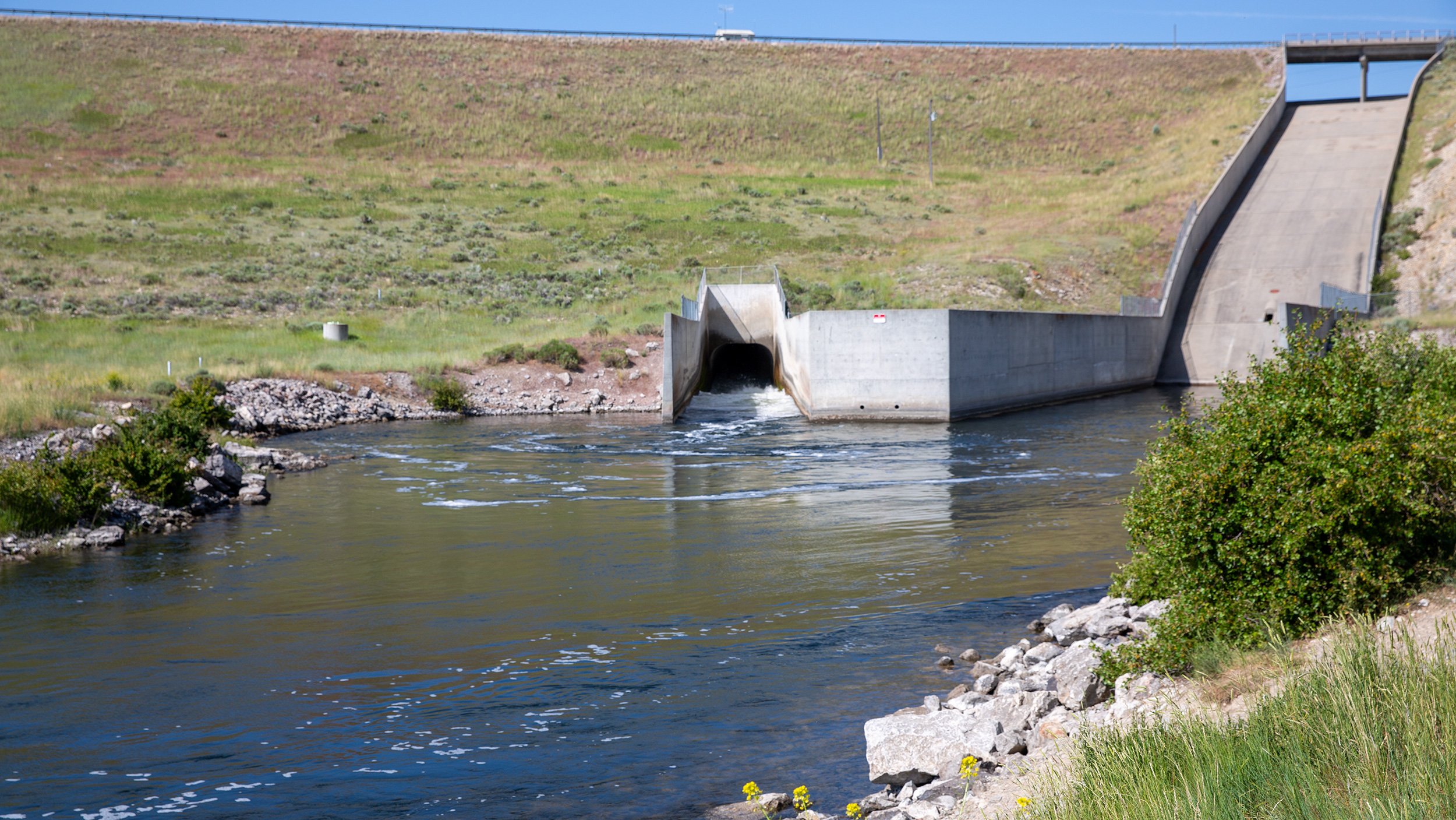
The Beaverhead usually makes the point first. We drive south on the interstate towards Clark Canyon Reservoir, leave the highway and cross the dam wall. The reservoir sits broad and still on one side. On the other, the Beaverhead emerges below the dam and immediately begins winding across the dry valley floor. From above it looks almost insignificant, particularly after several days on the Missouri.
Then you reach the ramp.
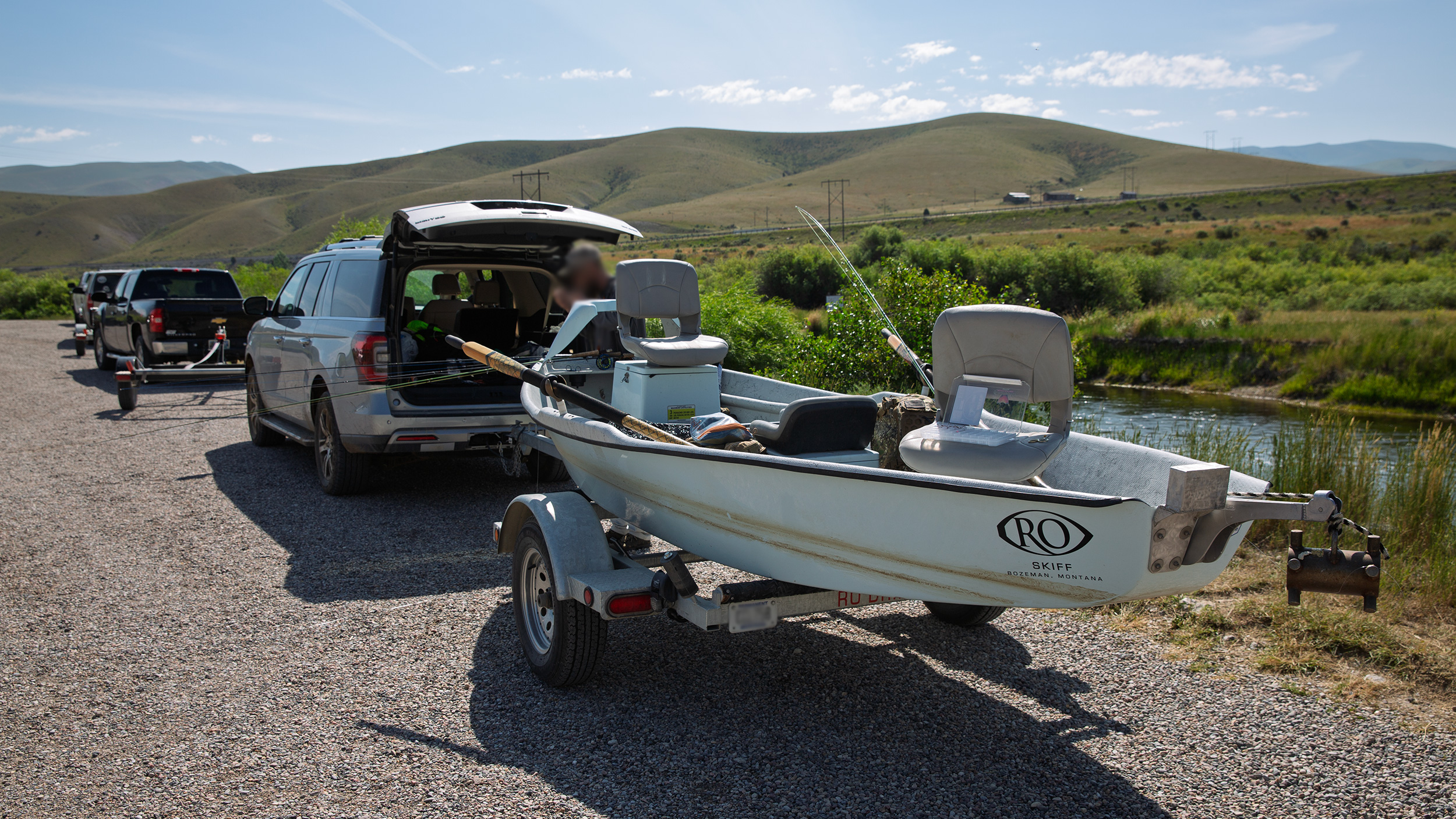
It does not seem to matter how early we arrive. There are usually boats ahead of us. Everyone joins the queue in the order they arrived and moves forward one place at a time. Nobody seems particularly bothered by the wait. Guides use the twenty minutes to prepare boats, assess the water, alter leaders and tie on flies. Clients drink coffee and watch the river. Eventually your turn arrives, the boat slides down the rough ramp and another day begins.
From the boat, the Beaverhead feels completely different. It is narrow, intimate and surprisingly quick. In places it may be only twenty or thirty yards across, occasionally widening beyond that, before bending back upon itself beneath bankside vegetation. Channels split without warning. Some carry similar amounts of water, leaving the person on the oars only a few seconds to decide which one to take. Timber appears around bends. Shallow gravel accelerates the current. The river is constantly asking the rower to look ahead.
That is part of what makes it enjoyable to row. You are rarely sitting passively on the oars. The boat needs positioning, correcting and anticipating. The angler needs to remain in useful water while the guide is already considering what lies around the next corner. On a large river, there is often time to see trouble developing. On the Beaverhead, decisions arrive more quickly.
The fishing can be equally startling. The upper river holds extraordinary numbers of trout, many of them substantial fish. The conventional approach is often deep nymphing. Not vaguely deep. Properly deep. Long droppers, two weighted nymphs, split shot and indicators large enough to look faintly ridiculous until you watch one disappear.
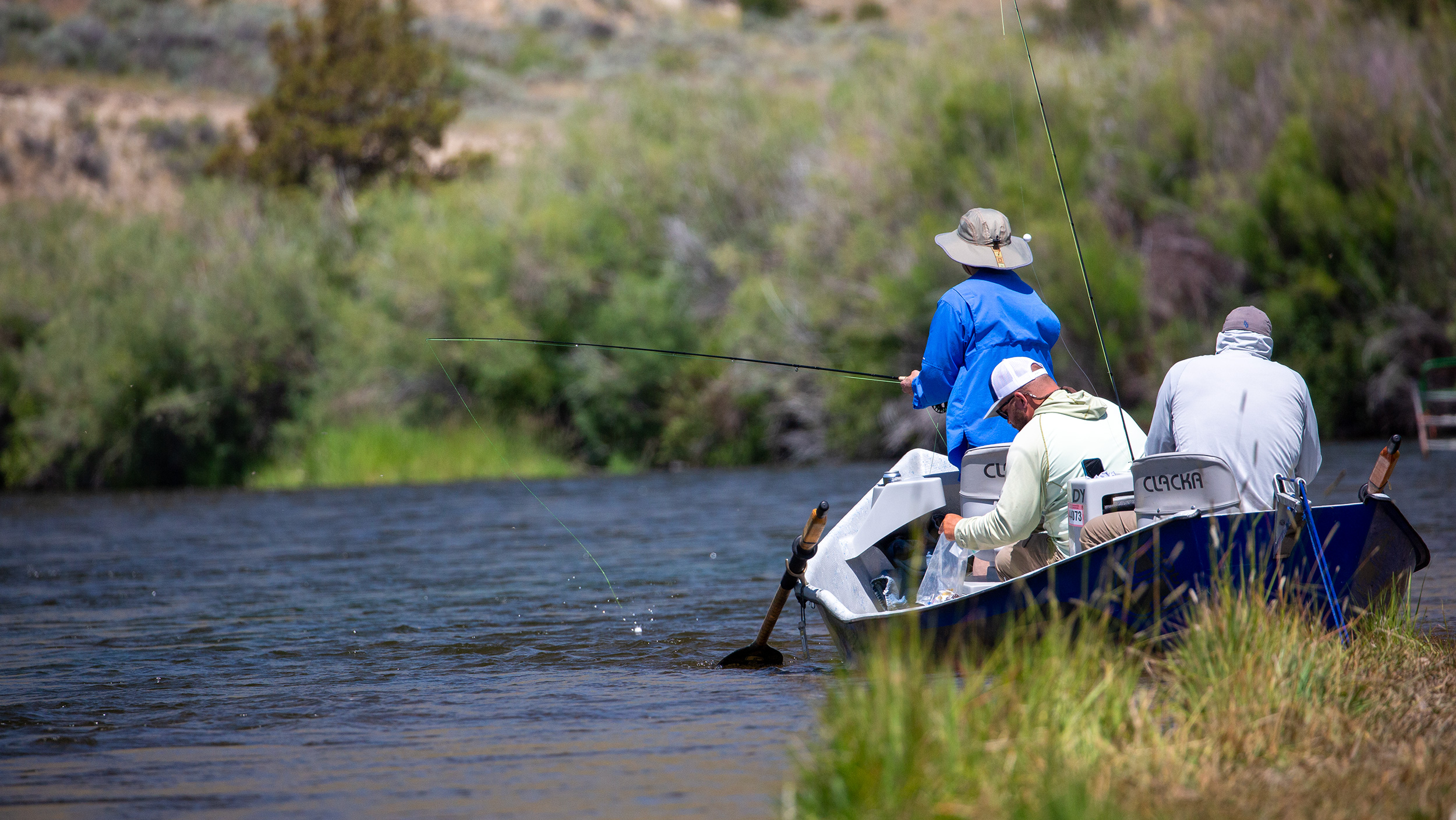
The first time you see the rigs, it is difficult not to think of the barrels Quint stuck into the shark in Jaws. You wonder how any trout could possibly pull the thing under.
Then the indicator vanishes. Sometimes it doesn’t merely dip. It is violently dragged beneath the surface and begins travelling upstream at a rate that leaves no doubt about what has happened below. The guides want the flies on the bottom. You can often see the indicator tapping rhythmically as the rig moves through the run. Tap, tap, tap. The flies are down where they need to be. Then one of those taps becomes something else entirely.
It is enormously productive. In the upper few miles there can be so many fish concentrated in the cold tailwater that guides will anchor boats along the edge of a run or below a drop off and repeatedly work the centre channel. At times there may be several boats lined along the same run, with different anglers hooked up simultaneously.
My Australian instincts struggle with this.
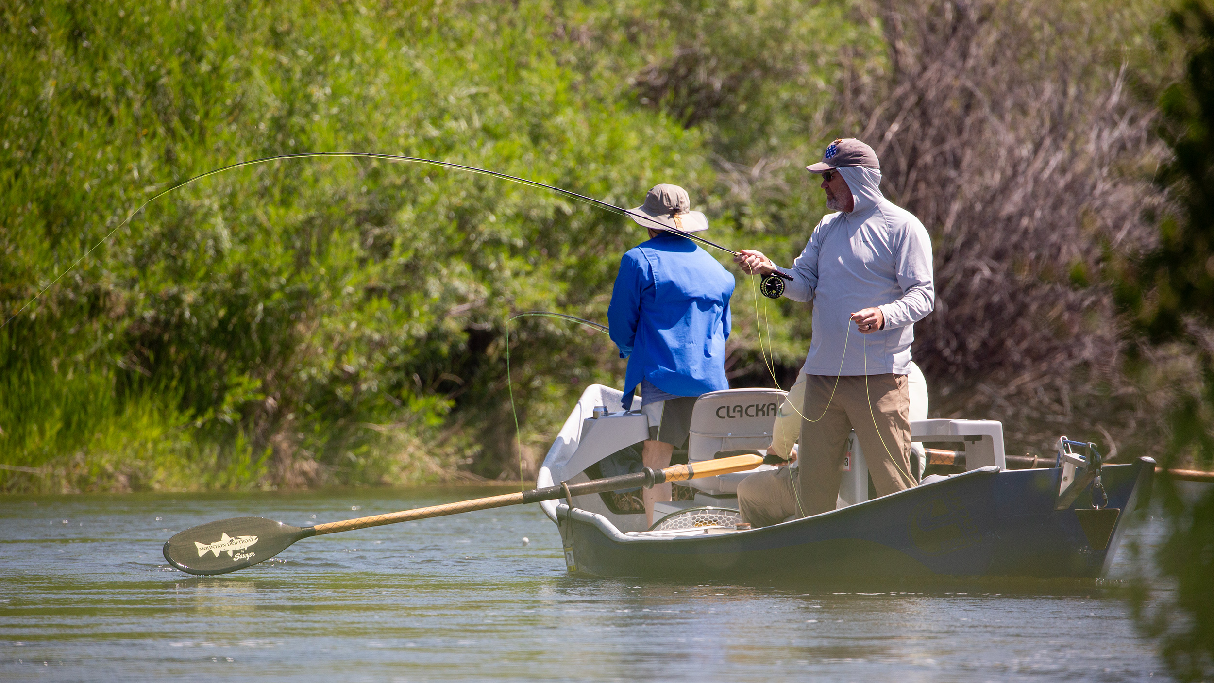
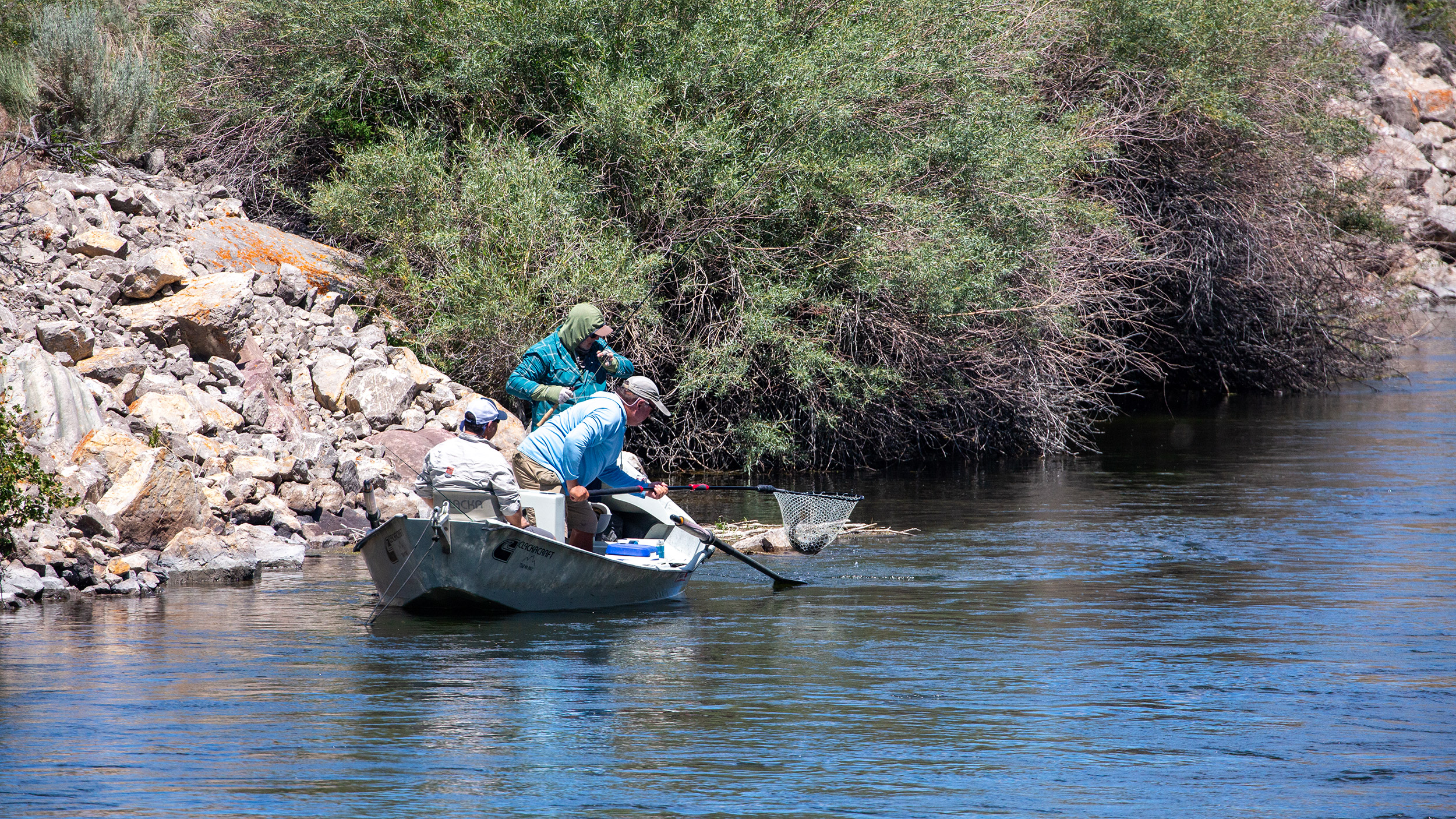 More than once I have approached a line of anchored boats, shipped the oars and tried to sneak through whatever narrow gap I could find between the bank and the boats because I did not want to row across somebody else’s fish.
The American guides look at me as though I have lost my mind. “Just go over them.” The first few times I assumed they were simply being polite. They weren’t.
There are plenty of fish, they tell me, and the trout are accustomed to boats. Rowing over the top is preferable to creating chaos along the bank or interfering with a client’s backcast. After enough years I understand the logic perfectly well, yet some part of me still finds it difficult.
Perhaps that is why we have gradually developed a different way of fishing the Beaverhead. Most guides operate something close to conventional hours. They launch around eight or nine and finish somewhere around four or five. We try to get ahead of that rhythm. If conditions allow, we are on the water around seven, sometimes among the very first boat to launch. Then we keep moving.
Rather than spending eight hours working every productive nymphing run, we cover the first drift in four or five. We pick the eyes out of the water, concentrate heavily on dry flies and keep moving downstream. When we reach the takeout, we stop for lunch, return to the top and do it again. By the second drift, many of the boats that followed us in the morning are either well downstream or beginning to finish. For much of the afternoon, the river feels considerably quieter.
There is a trade-off. If the sole objective were numbers, it would be foolish to ignore the deep nymph fishing. Twenty fish is entirely possible. Sometimes more. Our approach may produce five or ten good fish on a pass, perhaps a dozen when everything comes together.
I will happily take that exchange. Fewer boats. Dry flies. Rising trout.
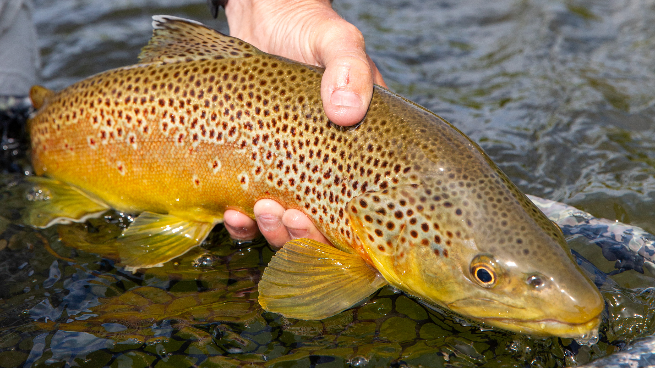
The Beaverhead offers surprisingly good dry-fly fishing for anyone prepared to look away from the obvious way of doing things. Terrestrials can be worked tight to grassy edges and beneath cover. PMDs bring fish into slower water. Spinners gather over flats. Anywhere the current softens slightly is worth examining, particularly where shade reaches across the river.
Double dry-fly rigs allow us to search while still presenting something small enough to interest selective fish. We miss plenty. Some refuse at the last moment. Others rise, inspect the fly and disappear again. And when you snag a branch its $7 gone, not $3.50. That is part of it.
The trout themselves can be exceptional. The lower forty-eight states are not generally associated with the size of trout Australians encounter in New Zealand, but certain fertile tailwaters are different. The Beaverhead is one of them. Heavy brown trout are common enough that landing several genuinely good fish in a day is unremarkable by local standards.
It is easy, in those circumstances, to become complacent. That is probably the greatest danger on the Beaverhead. The river looks small. The boat feels controllable. Fish are everywhere. Then you round a corner and discover fast water, shallow boulders and timber exactly where you do not want it.
There is one section beneath an interstate bridge that has always commanded my attention. The river narrows, accelerates through boulders and shifts heavily from one side to the other before dropping towards trees. At certain flows there is very little time to carefully pick a line and the decision has already been made for you. Years ago, I came through there with a couple of mates while another boat followed behind. I heard the water before I properly saw it and managed to pull over just high enough to get my anglers onto the bank. With the boat lighter, I pushed through alone, sliding across shallow boulders before pulling up below. A few small dings on the hull the only damage to show.
Then I thought about the second boat. The person rowing it had considerably less experience. I ran upstream. By the time I reached them, there was no realistic way for the rower to stop above the rapid. I ended up scrambling onto the rocks, grabbing the boat as it came through and using my weight, the anchor and whatever footing I could find to help slow it enough to get the anglers out. Then I rowed that boat through as well.
A local guide might reasonably describe the rapid as small. In the broader scheme of western whitewater, it is. But small rapids can still put inexperienced rowers into trees, particularly when everything happens quickly. I have sat nearby waiting to photograph clients coming through that slot and watched other boats get pushed into the timber on the far side.
The lesson is not that the Beaverhead is inherently dangerous. It is that complacency can make any river dangerous.
The next morning may be entirely different. The Big Hole opens the country again. Where the Beaverhead feels intimate and contained, the Big Hole feels like a western freestone river. There is no large storage dam controlling its upper reaches. Gravel moves. Channels alter. Timber accumulates and disappears. Spring runoff can rearrange pieces of river between visits. That impermanence gives the Big Hole much of its character.
Large ranches spread away from the banks. Gravel bars open beneath wide skies. Long rock walls have been built along some outside bends to protect against erosion. Cottonwoods, pasture and distant mountains replace much of the tight vegetation of the Beaverhead. Deer are more common. Birdlife seems more obvious. The river feels less engineered even where people have clearly worked hard to hold it in place.
It has good years and lean ones. That matters too.
Not every famous Montana river fishes brilliantly every season, and there is little point pretending otherwise. The Big Hole has experienced difficult periods, and by midsummer conditions can vary enormously. Yet even on a modest fishing day it remains one of those places where the journey itself carries considerable value.
The Ruby changes the pace again. It is smaller water, approached on foot rather than from a drift boat. Pools, riffles and runs replace the constant movement of rowing. You slow down. Watch. Walk. Perhaps wait for a fish to reveal itself before making a cast.
For anglers who have spent six days sitting in boats, that alone can feel refreshing.
The Ruby also introduces another peculiarly western issue: access. For years, disputes around bridges on the river became part of a larger argument over Montana’s stream-access laws. Wealthy landowners challenged whether anglers could legally reach public water from county bridges, leading to litigation that eventually reached the Montana Supreme Court. To an Australian visitor, the intensity of these arguments can seem strange until you understand how important public access is to western fishing culture.
A river can be public while the land surrounding it is not.
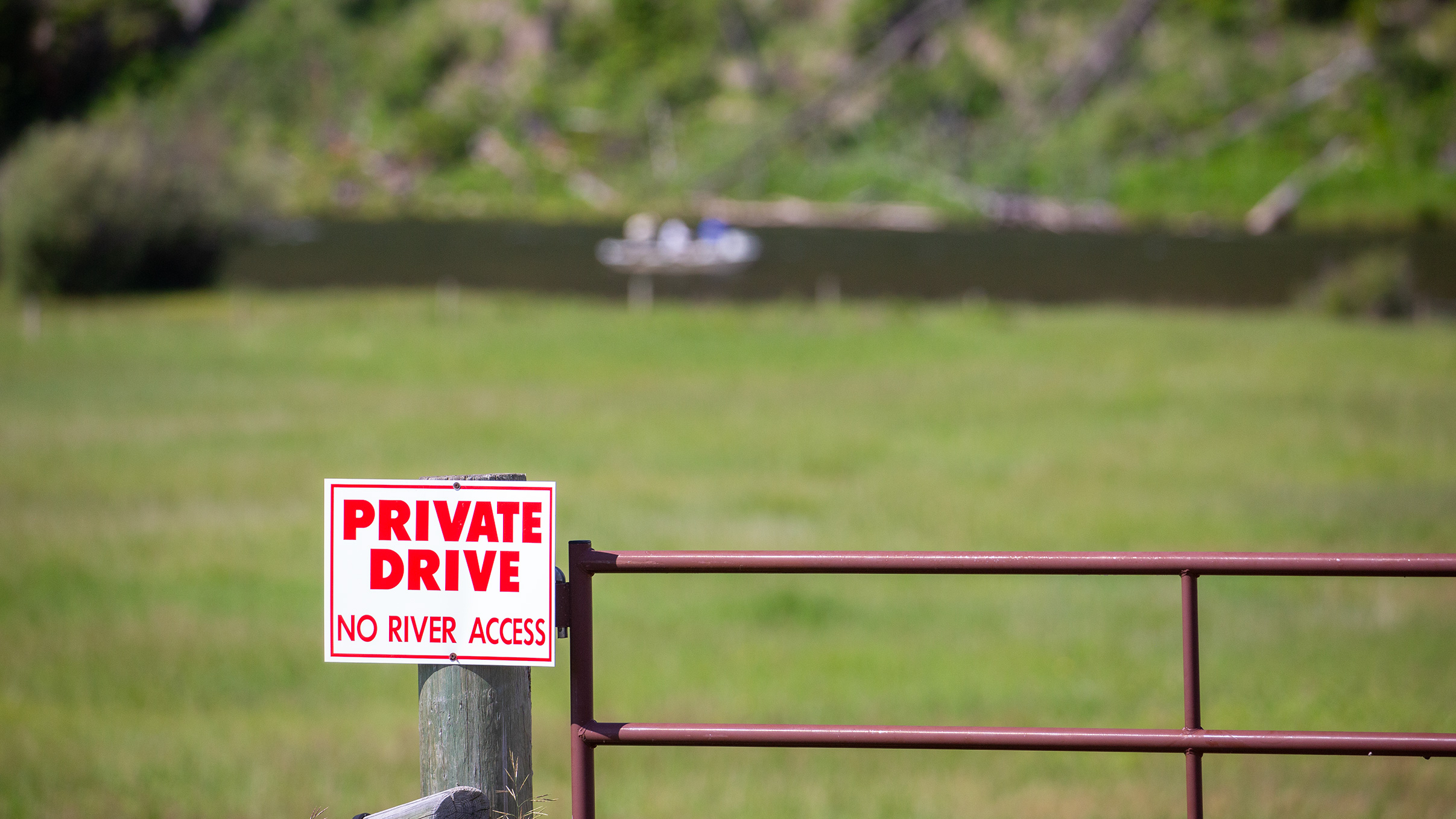
That distinction shapes where people park, where they enter and how they move along the water. On the Ruby, the argument was never merely about trout. It was about who gets to reach them.
The Jefferson is another possibility, though by the time we usually arrive in July it can simply be too warm. Earlier in the season it can fish very well. Later, responsible decisions about water temperature become more important than whether somebody would like another day on a particular river. That is where the depth of local guide knowledge becomes invaluable.
A guiding operation may have twenty boats spread across different rivers and sections on any given day. Reports return every evening. Guides know which water is warming, where hatches appeared, which section received heavy pressure and where somebody unexpectedly found good fish.
The following morning, all of that information is redistributed. Sometimes the decision has little to do with where the most fish were caught. A client may have spent two days watching an indicator and simply want to throw dry flies against grassy banks. Someone else may want to sight-fish. Another may be tired and prefer a less technical day. A guide who ignores those things can put somebody on the objectively “best” river and still give them the wrong day.
Occasionally the answer is the Madison. It requires a longer drive from Dillon, through Twin Bridges and Virginia City towards Ennis, but it has rescued more than one trip when conditions or restrictions elsewhere narrowed the options. The river itself changes character repeatedly, from the country around Yellowstone through Hebgen and Quake lakes, down through the Slide and into the long section anglers call the fifty-mile riffle before eventually flattening towards Ennis.
By then, the idea of “Montana fishing” as a single thing has become almost meaningless. The rivers are too different. So is the country surrounding them. One of the pleasures of staying around Dillon is discovering that the landscape carries stories far older than the fly shops.
Beaverhead Rock rises above the valley north of town. In 1805, Sacagawea recognised the landmark as Lewis and Clark’s expedition moved through the region and understood that they were approaching the country of her Shoshone people. The expedition desperately needed horses if it was going to cross the mountains. A shape in the landscape told her they were getting close.
Nearby, William Clark climbed high ground to survey and sketch the country. Today we drive through the same valley in air-conditioned vehicles, watching river reports on phones and deciding where to fish tomorrow.
A little farther away is Bannack. Gold was discovered there in 1862, and for a brief period the settlement became one of the most important places in Montana Territory. Today much of the town remains standing. You can walk along the old main street past weathered buildings, looking through empty windows into rooms that once held schools, businesses and families.
Ghost towns are strange places. The buildings remain, but the reason for their existence has disappeared. Coolidge, hidden in the Pioneer Mountains, feels different again. It grew around silver rather than gold. Reaching the remains involves leaving the vehicle and walking through forest into country where the industrial ambition of another era is slowly being absorbed back into the landscape. Mining structures, abandoned buildings and remnants of the old operation remain among the trees.
It is difficult to reconcile those quiet ruins with the effort required to put them there.
Then there is the Big Hole Battlefield. I first visited without fully understanding the story attached to the place. The trails move through open country towards the edge of the timber. Interpretive markers explain what happened there in August 1877, when more than eight hundred nimíipuu, or Nez Perce, were travelling with their families and thousands of horses during their attempted flight from U.S. forces.
The attack came at dawn. Nearly ninety Nez Perce were killed, many of them women and children, along with soldiers and civilian volunteers. The survivors continued eastward, fighting and travelling for weeks before much of the group was eventually stopped close to the Canadian border.
I remember walking the trails and reading the markers. At one point we saw what appeared to be a bear near the distant timber. Mostly, though, I remember the quiet.
Places like that require very little interpretation from the visitor. The landscape is still there. The distances are still visible. Once you understand that families were moving through this country with children, horses and possessions while being pursued across hundreds of miles, the neat lines on a modern map become something else entirely. Montana contains a great deal of that.
A road followed because it leads to tomorrow’s fishing may also cross the route of Lewis and Clark, pass an abandoned mining settlement, skirt a battlefield or run beside country used for thousands of years before any of those names existed. The fishing is only one layer.
By the time we leave Dillon, clients have usually been in Montana for more than a week and fished six full days. Something has changed. The nervousness of the first Missouri morning is gone. They have caught trout in slow slicks and fast pocket water. They have watched indicators disappear and fish rise to dries. They have blind-fished likely banks, stalked individual trout and learned that a guide changing tomorrow’s river is not necessarily changing the plan. Sometimes that is the plan.
They are also tired in the good way. The bags go back into the vehicle. The rods remain rigged. Then we turn towards the next part of the journey.
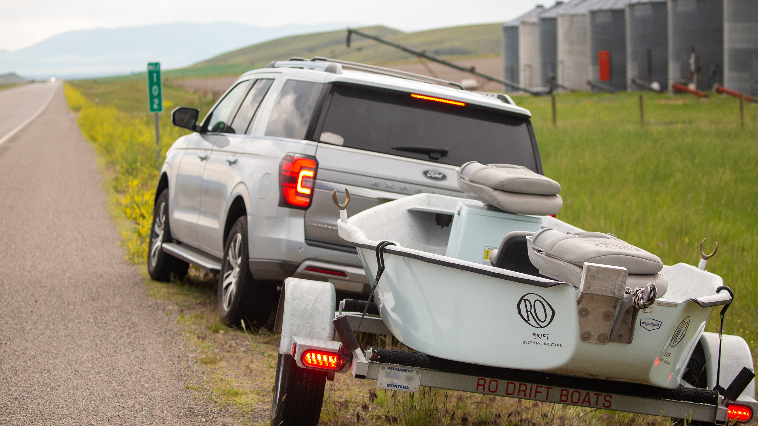
Usually that means West Yellowstone or Island Park, and another complete change of scale. Drift boats may give way to wading. The next trout might be a native cutthroat in Yellowstone National Park. There will be bison, thermal basins, high meadows and the possibility of wolves or bears at first light. The Madison remains nearby. So does the Henry’s Fork. By this stage nobody needs convincing that the next river will be different.
Put me into a drift boat on any of these waters and I would know where I was almost immediately. I wouldn’t need the mountains, a road sign or a familiar house on the bank. The river itself would give it away. The Missouri with its broad, deceptive slicks. The Beaverhead turning back upon itself beneath willows and brush. The Big Hole opening across ranch country. The Madison running seemingly without end through riffle water.
After enough time, you recognise them in much the same way you recognise familiar handwriting. Not because you consciously examine every detail, but because the details together could belong to nobody else.
That is perhaps what changes most during these middle days of the trip. On arrival, clients know the names. Missouri. Beaverhead. Big Hole. Madison. They are famous rivers collected over years from books, magazines, films and conversations with other anglers. Six days later, the names have acquired shape and movement. One is broad and subtle. Another narrow and quick. One asks you to stare at a tiny dry fly in flat water. Another has you throwing something large against a grassy bank while the boat moves beneath you.
Tomorrow there will be another river.
Somewhere ahead, Yellowstone is waiting.
And nobody expects it to look anything like the water we have just left.